Route plannerEight rides by difficulty
Match terrain and days honestly—Kyrgyzstan’s roads and tracks punish underbiked kit and rushed acclimatisation alike.
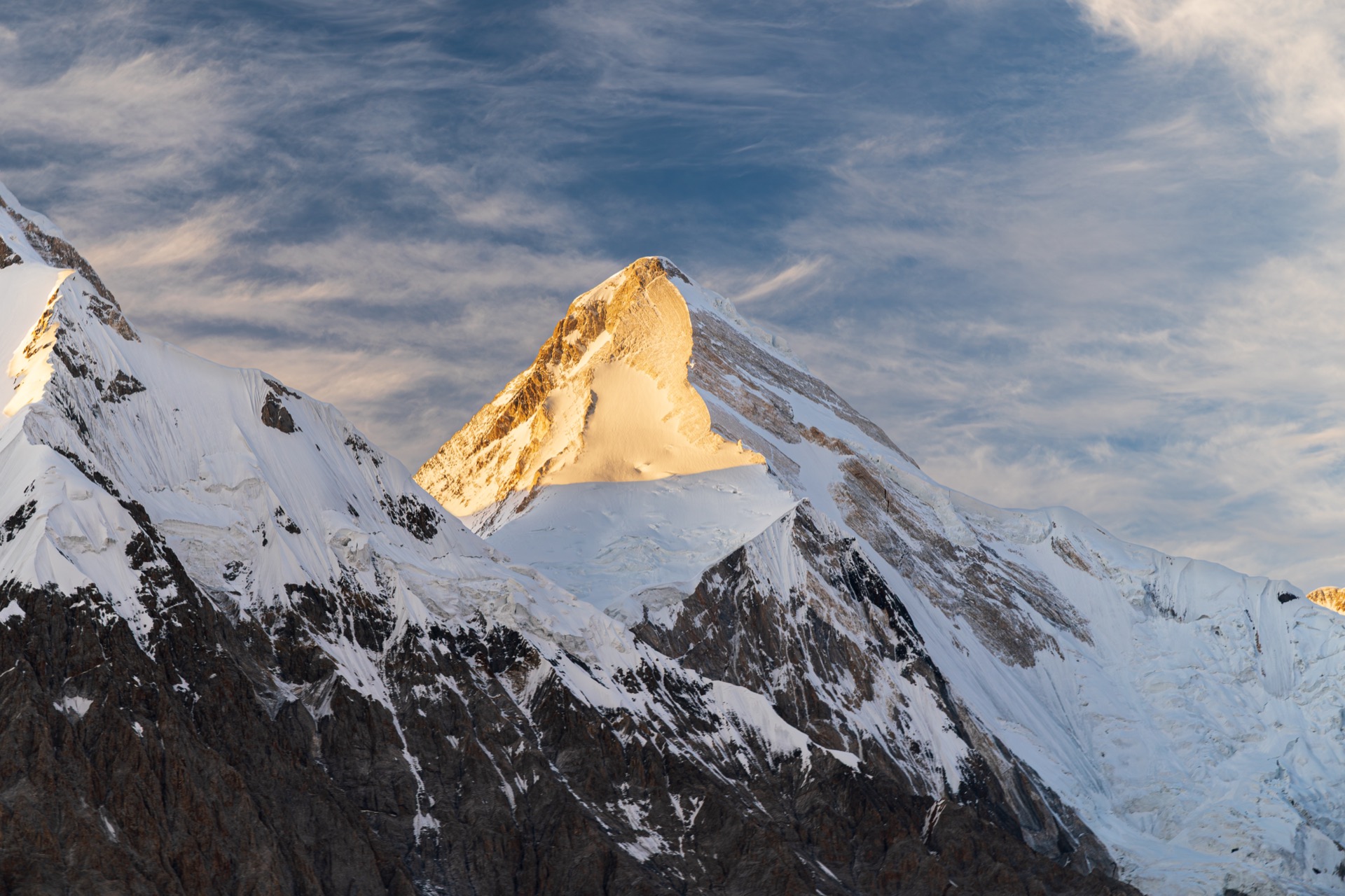
Mountain biking Kyrgyzstan is not a single aesthetic: one afternoon you might spin smooth dirt beneath Jeti-Oguz’s red cliffs; the next you are grinding gravel toward a pass where eagles outnumber cars. Cycling Kyrgyzstan as a keyword covers everything from credit-card touring along Issyk-Kul’s shores to bikepacking loops that borrow trekking culture—yurt bread, kumis offers, and shepherds who point at snowfields you were hoping had melted. The Tien Shan and Pamir-Alay edges deliver vertical honestly: gears matter, braking surfaces matter, and a spare mech hanger matters more than vanity weight savings.
Most international riders anchor logistics in Bishkek for flights, spare parts, and cash, then shuttle or pedal east toward Issyk-Kul and Karakol where singletrack-adjacent valleys fan out toward Jyrgalan and the Terskei Alatoo. That pattern mirrors how trekkers stage Ala-Kul, but bikes add highway exposure and mechanical risk—plan rest days in towns with a floor pump and truing stand within taxi range. If your trip mixes driving and riding, read our road-trip oriented notes alongside this page so drivers and cyclists share expectations about meeting points and spare water on long cols.
Community Based Tourism offices, Karakol guesthouses, and Bishkek outfitters increasingly answer “mountain biking Kyrgyzstan” enquiries with route PDFs, GPX folders, and seasonal warnings about mud after thunderstorms. Still download offline maps: signage is sparse once you leave village centres, and herder gates sometimes reroute you onto unexpected spurs. Respect pasture etiquette—give horses and loaded pack strings the uphill side of the track, close gates if locals ask, and camp away from active yurt kitchens unless invited closer.
Jeti-Oguz valley
Near Karakol
- Difficulty
- Easy
- Duration
- Half day to 1 day
- Distance
- ~15–35 km (loops & out-and-backs)
- Surface
- Dirt roads, meadow tracks, short linking paths
Gentle gradients beneath the red “Seven Bulls” formations make Jeti-Oguz one of the most approachable introductions to mountain biking in Kyrgyzstan. You can combine riverside riding with short pushes to viewpoints, then recover in a Karakol guesthouse the same evening. Traffic is lighter than on the main Issyk-Kul highway, but shared taxis still appear—ride predictably and wear hi-vis when linking paved sections.
Jyrgalan trails
Jyrgalan
- Difficulty
- Moderate
- Duration
- 1–3 days
- Distance
- ~25–55 km (linked valley and ridge options)
- Surface
- Village tracks, pasture roads, steeper connecting cols
East of Karakol, Jyrgalan has matured into a hiking hub—and the same valley network rewards cyclists who want punchy climbs and big Tien Shan views without committing to a full Silk Road expedition. Expect mud after rain, occasional hike-a-bike on the steepest pitches, and friendly homestays that will store a bike overnight if you stage a two-day loop. This is a strong answer to “cycling Kyrgyzstan” searches that want real mountains without endless pavement.
Song-Kul circuit
Song-Kul
- Difficulty
- Hard
- Duration
- 3–4 days
- Distance
- ~80–120 km (full circuit, weather dependent)
- Surface
- High jailoo tracks, rocky climbs, some rough 4WD spines
A bucket-list bikepacking loop for experienced riders: you climb from Kochkor-side approaches or link from Naryn-direction tracks to camp beside yurt camps at over three thousand metres. Wind, cold nights, and water sources spaced by pasture geography make this a logistics puzzle as much as a fitness test. Panniers or bikepacking bags, a filter, and a tent rated for freezing nights are standard—see our camping guide for wild-camping norms before you commit.
Bishkek–Issyk-Kul
Issyk-Kul region
- Difficulty
- Moderate
- Duration
- 2 days
- Distance
- ~240–280 km (shore variant affects total)
- Surface
- Paved highway with wide shoulder in places; busy traffic
This is the classic Kyrgyzstan cycling corridor: roll out of Bishkek, cross the Boom gorge, then trace Issyk-Kul’s north or south shore toward Karakol or Cholpon-Ata. It is not technical riding, but truck drafts, occasional dogs near villages, and summer heat demand respect. Split the ride sensibly—many riders overnight in Tokmok, Balykchy, or a lakeside guesthouse—then reward themselves with mountain trails after the transit stage.
Silk Road gravel route
Cross-country
- Difficulty
- Hard
- Duration
- 7+ days
- Distance
- 400 km+ (itinerary dependent)
- Surface
- Mixed gravel, broken asphalt, high passes, remote segments
For riders typing “mountain biking Kyrgyzstan” who actually mean multi-country gravel epics, Kyrgyzstan forms a dramatic link in longer Silk Road traverses—think Osh toward Tajikistan or westward loops through Suusamyr-style valleys. These routes assume mechanical skill, spare parts, food carry capacity, and willingness to reroute around snow or landslides. Guided bike tours shine here: support vehicles, local drivers who read road gossip, and translation when police checkpoints ask questions.
Suusamyr Valley
Central Kyrgyzstan
- Difficulty
- Moderate
- Duration
- 1–2 days
- Distance
- ~40–90 km along valley and side spurs
- Surface
- Wide jailoo tracks, highway connectors, rolling grassland
The Suusamyr plateau between Bishkek and Osh feels made for pedal-powered horizon chasing: enormous sky, herder tracks, and relatively forgiving gradients compared with razor-edge cols. You will still share space with long-distance trucks on the main road—time side explorations for daylight and keep lights charged for tunnels and weather. Pair Suusamyr with a read of our road-trip style planning if you are mixing bike days with a support car.
Ala-Archa trails
Ala-Archa National Park
- Difficulty
- Easy–moderate
- Duration
- Half day to 1 day
- Distance
- ~12–35 km (gate to viewpoints and returns)
- Surface
- Park road, riverside path, steeper spur tracks
Barely an hour from Bishkek, Ala-Archa delivers alpine scenery on a timetable that suits acclimatisation days or city-break riders testing rental bikes. The paved approach and ranger station mean you pay park fees rather than navigating anonymous backroads—ideal for families comparing cycling Kyrgyzstan options before committing to Issyk-Kul. Hike-a-bike sections appear if you push toward glacier viewpoints; otherwise stay on the main valley floor for a scenic spin.
Chon-Kemin valley
Chon-Kemin National Park
- Difficulty
- Moderate
- Duration
- 1–2 days
- Distance
- ~35–70 km (valley floor and forested side roads)
- Surface
- Forest roads, park tracks, short steep pitches
Between the Kungey and Ile Alatoo ranges, Chon-Kemin offers quieter asphalt and dirt combinations than Ala-Archa on busy weekends. Birdlife, river camps, and guesthouses make it a strong moderate-difficulty stage if you are building a loop out of Bishkek. Confirm park entry rules at the gate if you camp—our trekking and camping pages explain how Kyrgyzstan treats wild pitches versus designated sites.